
 In 1995 Keyworth & District Local History Society prompted Keyworth Parish Council to create a Conservation Area Advisory Group, dedicated to identifying, preserving and protecting Keyworth’s historical environment. Several people worked very hard for the next couple of years establishing the village’s merit and collecting and collating evidence from a variety of sources, including maps and historical publications, and also fielding concerns from residents.
A site assessment was undertaken in June 1997, a working group was established towards the end of the year and Cllrs Hyman, Abbey, Armstrong and Barton, together with others, Messrs Hammond, Roper, Starkey and Adlington, prepared for a presentation.
A public meeting in March 1998 and a Full Council agreement by Keyworth Parish Council in September 1998 supported an application, which led to the Development Services Committee of Rushcliffe Borough Council designating a Conservation Area in Keyworth.
Keyworth Parish Council (KPC) has previously supported the activities of the Conservation Area Advisory Group (CAAG) by funding a small annual budget, which enables us to continue working to value the historic environment in which we live.
Liaising with the Keyworth & District Local History Society (KDLHS), CAAG have completed a project with Keyworth & Ruddington Rotary; and since 1995 has
- established a Conservation Area
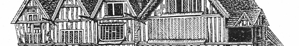
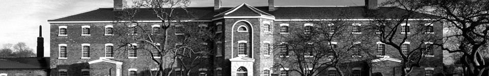
- Identified and caused to be listed 6 major historical buildings
- designed, produced and continue to update information leaflets
- designed, funded and erected a Heritage Plaque for the information of residents and visitors – in the Square (October 2010)
- Extended the Conservation Area (2011)
- Designed, funded and erected a Heritage Plaque for the information of residents and visitors – on Main Street (2012)
- Designed, commissioned and installed a date (1784) to 3 Main Street (“Village Hair”) to replace that lost under paintwork (2012)
- Engaged with Heritage Weekends, Open Churches events and The Village Show
- Installed Blue Plaques:
George Martyn’s Barn (Main Street)
Ridge and Furrow (on Village Hall opposite the site, Rectory Field)
St Mary Magdalene Parish Church
- Continue to plan for additional Blue Plaques
- Continue to offer advice to owner/occupiers of properties in the Conservation Area and listed buildings outside of the Conservation Area.
The Census – an official enumeration of the population – was begun in 1841. The latest Census in 2011 may possibly be the last one to be conducted by the ONS (Office for National Statistics).
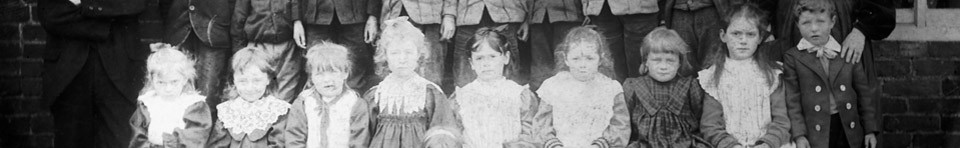
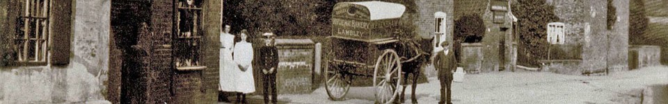
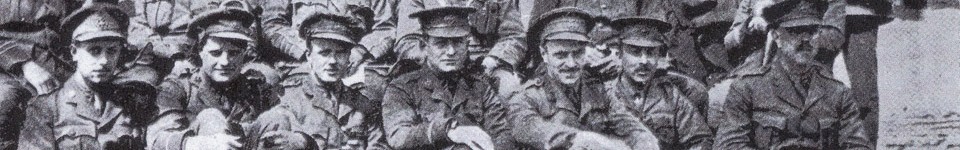
Local interest in the Conservation Area was generated by its extension in 2011, which was invaluable in successfully defeating a proposed development, which was found to be unacceptable to the community. It seemed appropriate that the material collected by K&DLHS and CAAG over the previous 15 years should be reviewed, collated and expanded.
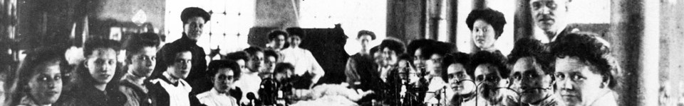
Documents relating to the Keyworth Conservation Area Advisory Group (CAAG) from its earliest beginnings (minutes of meetings, correspondence, photographs, maps and drawings, guidance notes and statutory directives) were collected and filed for future reference; preparatory photographs and documentation prepared in order to record details about individual properties over time.
To consolidate the material, and in celebration of the continuing close working partnership with Keyworth & District Local History Society and others, this Census of the buildings within the Conservation Area (and those outside of it which may have historical significance) was begun, so that information will be available for future local historians.
The Keyworth Conservation Area Census could be extended in the future to include land use, commerce, and activities of the village – perhaps as a series of projects to be undertaken by others such as local schools, churches and other social groups. The template format could be a useful starting point for any group to use.
Since 2011, there have been two free CA Census events each year, in spring (February) and autumn (November): we have a display of maps, materials and artefacts, and invite anyone with historical documentation (letters, documents, photographs, artwork) relating to the Conservation Area to bring them along to be recorded. Refreshments are available. Themes have included “Our Listed Buildings”, “Faces and Places|”
Next event: “Local Businesses” Saturday 13th February 2016 In the Centenary Lounge of Keyworth Village Hall, 2.00pm – 4.00pm. Free entry, refreshments and Keyworth & District Local History Bookstall will be available.
If you wish to discuss this project, or are able to offer help, please contact
Sheila Barton, e.mail: sheilakingdom@gmail.com or telephone 0115 937 3068
SMB January 2016
Keyworth Conservation Area Census
CONSERVATION AREA ADVISORY GROUP (CAAG) and KEYWORTH & DISTRICT LOCAL HISTORY SOCIETY (KDLHS)